Burrow Head Coastal Circuit on the Isle of Whithorn
Walking
Walking in Scotland means mighty mountains to conquer, plenty of forest paths or coastal walks to meander along, charming villages to discover, and exciting city routes to explore. Whether you'd like to enjoy a walking holiday, or simply an afternoon's amble, you're definitely in the right place. It's time to explore one of Scotland's best assets - the great outdoors!
Plan your walk in Scotland
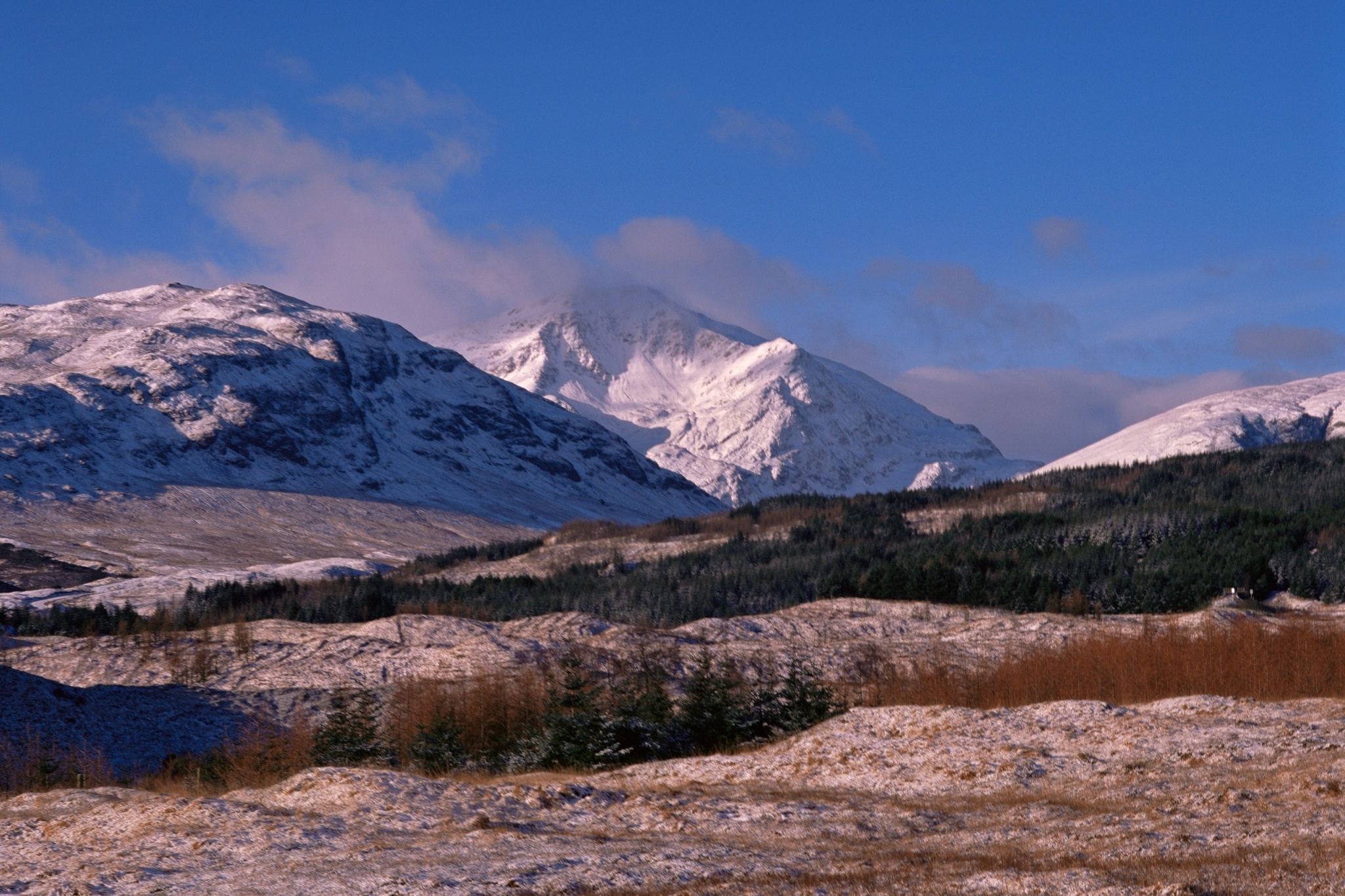
Beinn Eighe National Nature Reserve
© VisitScotland / Kenny Lam
Walking route suggestions
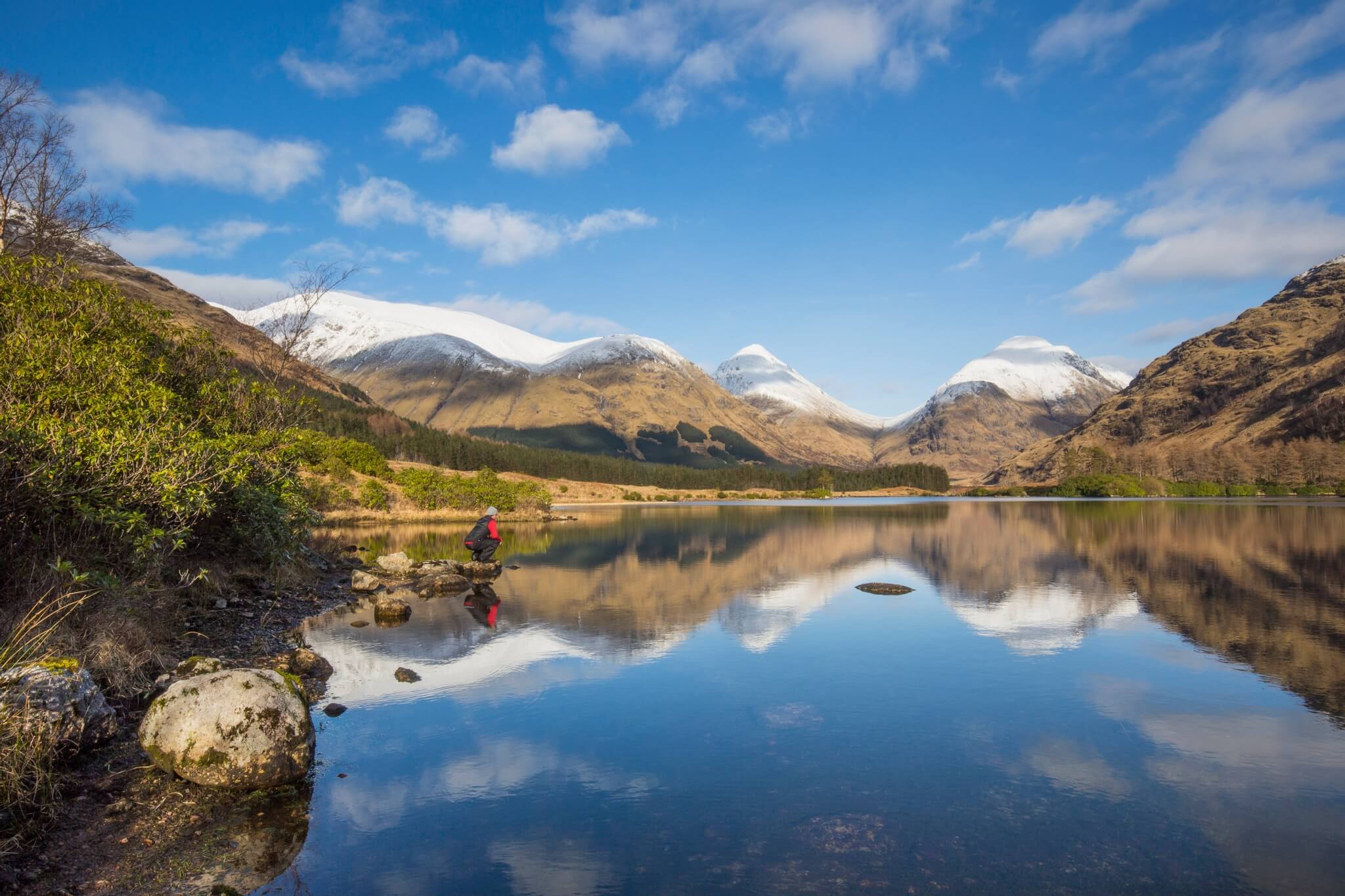
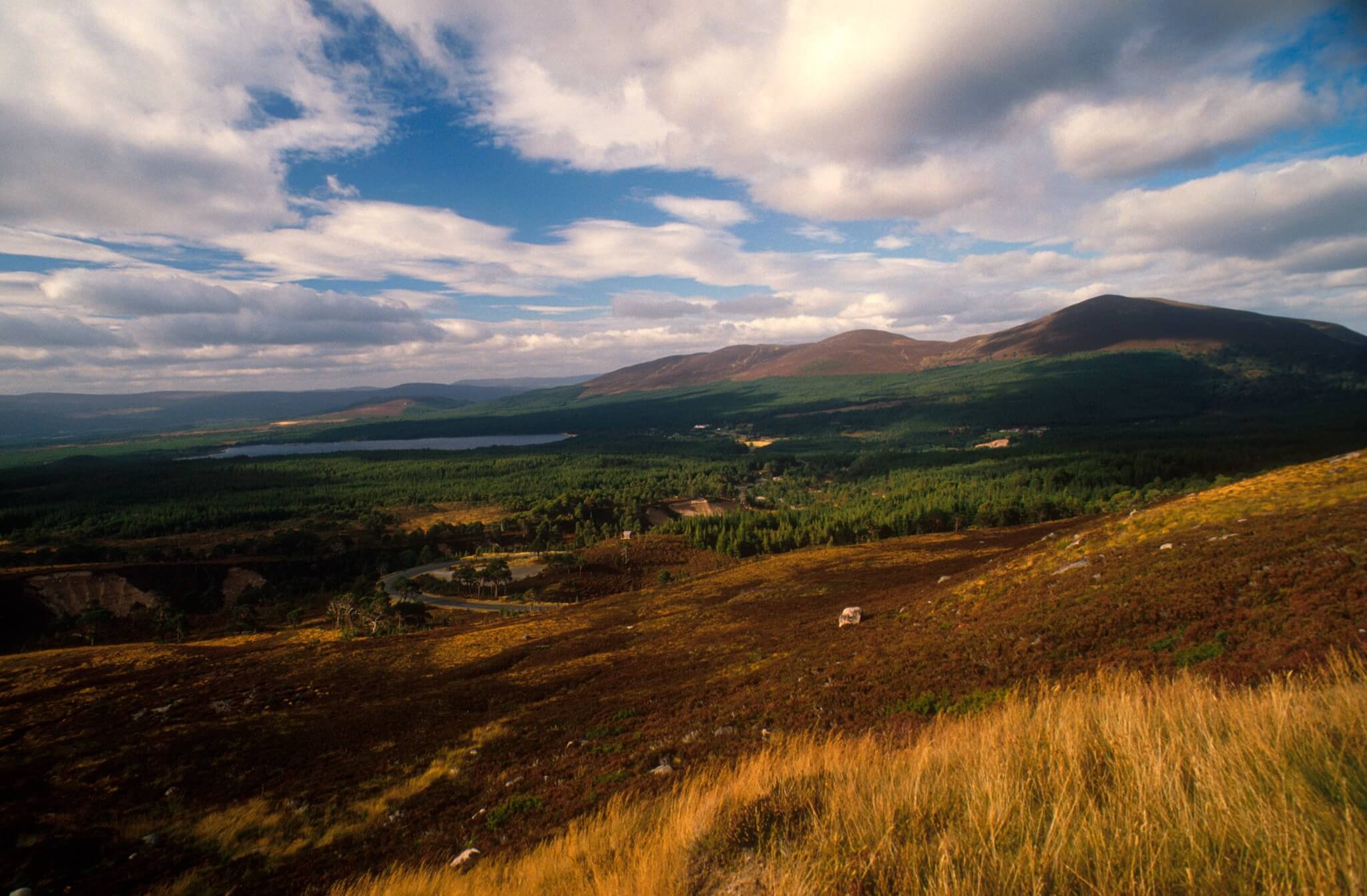
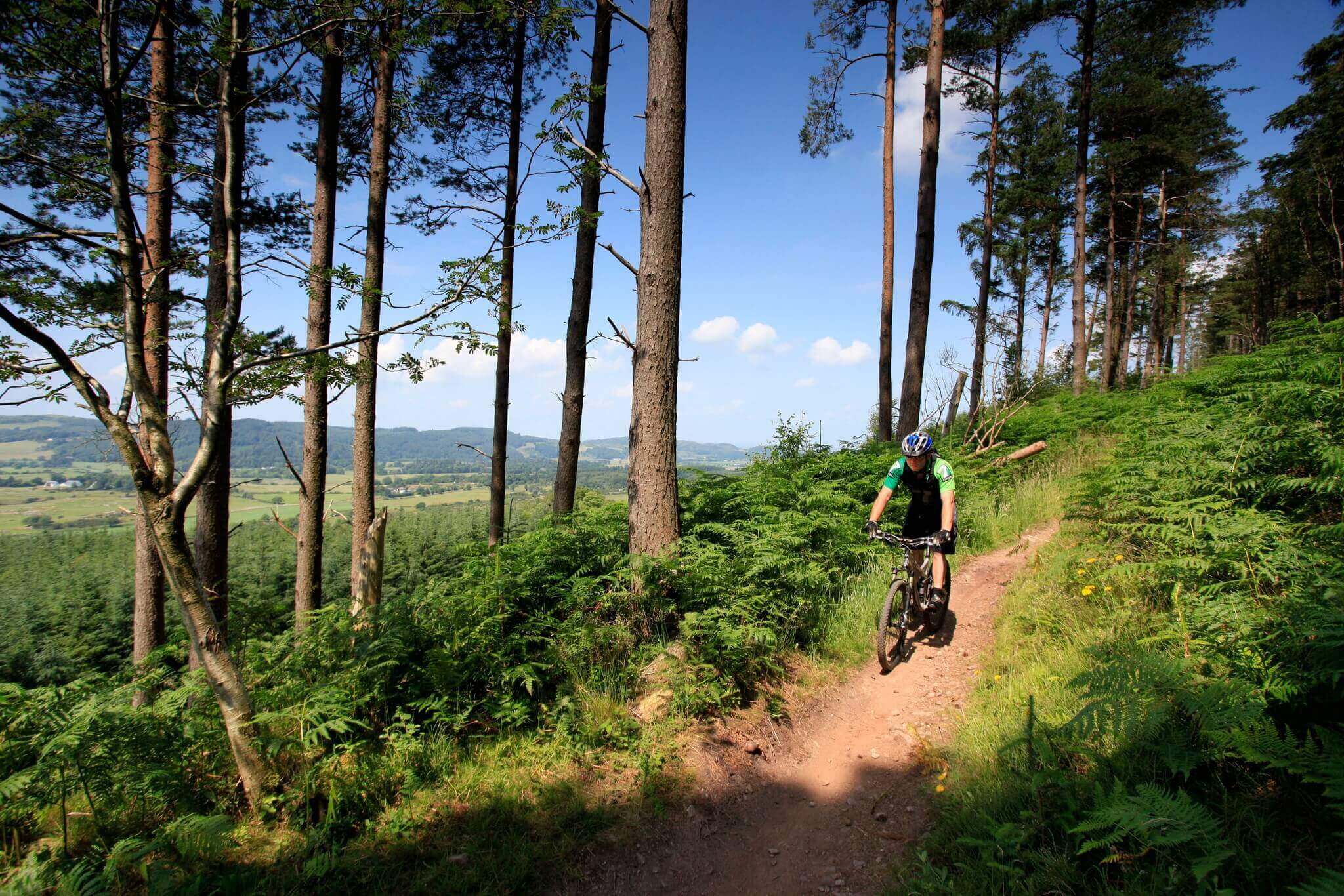
One of the best ways to get to know a place is on foot. Scotland is lucky to have all of the essential ingredients which make it a world-class walking destination. Blessed with jaw-dropping trails and an extensive network of waymarked paths and routes to suit people of all abilities.
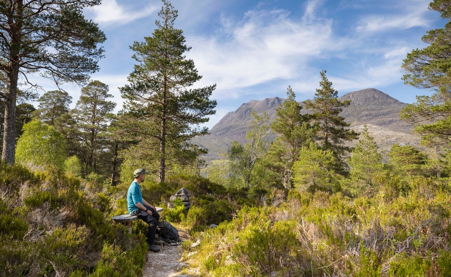
Beinn Eighe National Nature Reserve, The Highlands
© VisitScotland / Kenny Lam
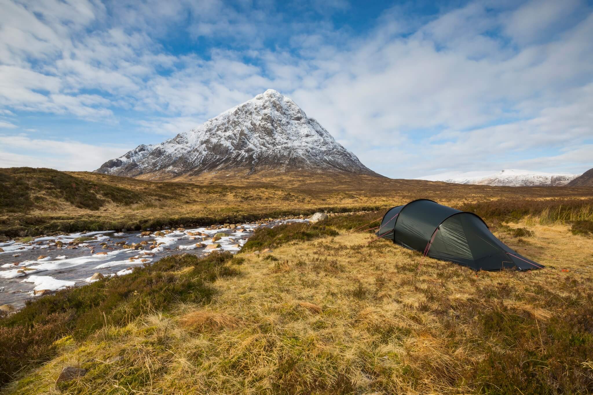
Hill walking routes
Scotland is full of hikes and trails up our tallest peaks. From conquering a Munro or starting off with a smaller Corbett or Graham, our mountains never disappoint!
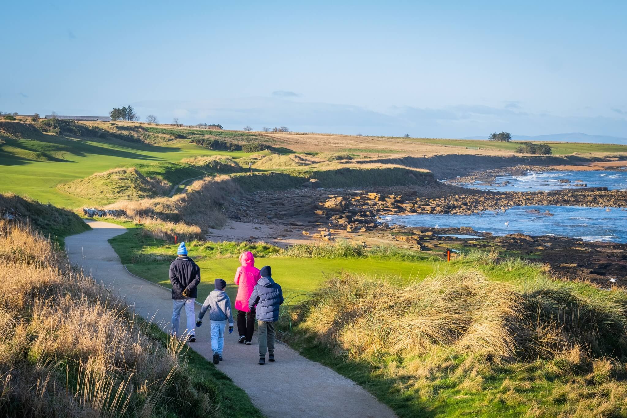
Family walking on Kingsbarns Beach, St Andrews
Easy & family-friendly walks
Many of Scotland's trails and routes are family-friendly and is a great way to get the kids outdoors for some fresh Scottish air. Whether it's a lochside stroll, a beach wander or a tranquil walk through the trees, Scotland has you covered!
Princes Street Gardens, Edinburgh
© VisitScotland / Peter Dibdin
Accessible Walking Routes
Scotland has plenty of accessible paths and trails to choose from for an enjoyable day out in nature! Find out more at:
General advice for walking
Find advice and information on weather, accommodation and more to keep you safe when walking in Scotland.
Scottish Outdoor Access Code
Explore Scotland's outdoor land responsibly by following the Scottish Outdoor Access Code.
Walkhighlands
Find detailed information and maps for walking routes throughout Scotland.
Mountaineering Scotland
Find more great mountain and hill walks in Scotland.
National Trust for Scotland - Walking
The National Trust for Scotland have got some of the best walking routes on their properties.
Forestry and Land Scotland - Walking Trails
From local woods for dog walking and majestic mountain viewpoints to some of the world’s most iconic scenery.
Mountain Weather
Be prepared and get the latest updates from the Mountain Weather Information Service
Pathwatch
Report path features and problems so Scotland's trails stay accessible to walkers.

A Guide to Outdoor Safety in Scotland
Scotland's scenery can be stunning but also wild and rural. Be prepared with the correct clothing and equipment.
Find experiences
JavaScript needs to be enabled to see this product search form. You can turn this on in your browser settings.